
Operator expands services with SkyFusion Pak aerial imaging system
May 13, 2011 — SkyIMD, Inc., the innovators in aerial imaging and intelligence solutions, has partnered with Aerial Surveillance, Security & Intelligence Systems Technologies-U.S., LLC (ASSIST-U.S.®), a provider of specialized aerial imaging services. ASSIST-U.S. has deployed SkyFusion Pak, the advanced, STC-certified solution for real-time aerial intelligence from SkyIMD.
A veteran-owned small business, ASSIST-U.S. is an ideal partner for SkyIMD because of their extensive military aviation and intelligence, surveillance, reconnaissance and command & control communications experience. “ASSIST-U.S. has a passion for homeland security that is coupled with their expertise in aviation and business,” said Tom Bleier, vice president of business development at SkyIMD. “We look forward to supporting the professionals at ASSIST-U.S. as they deliver powerful and affordable aerial imaging services.”
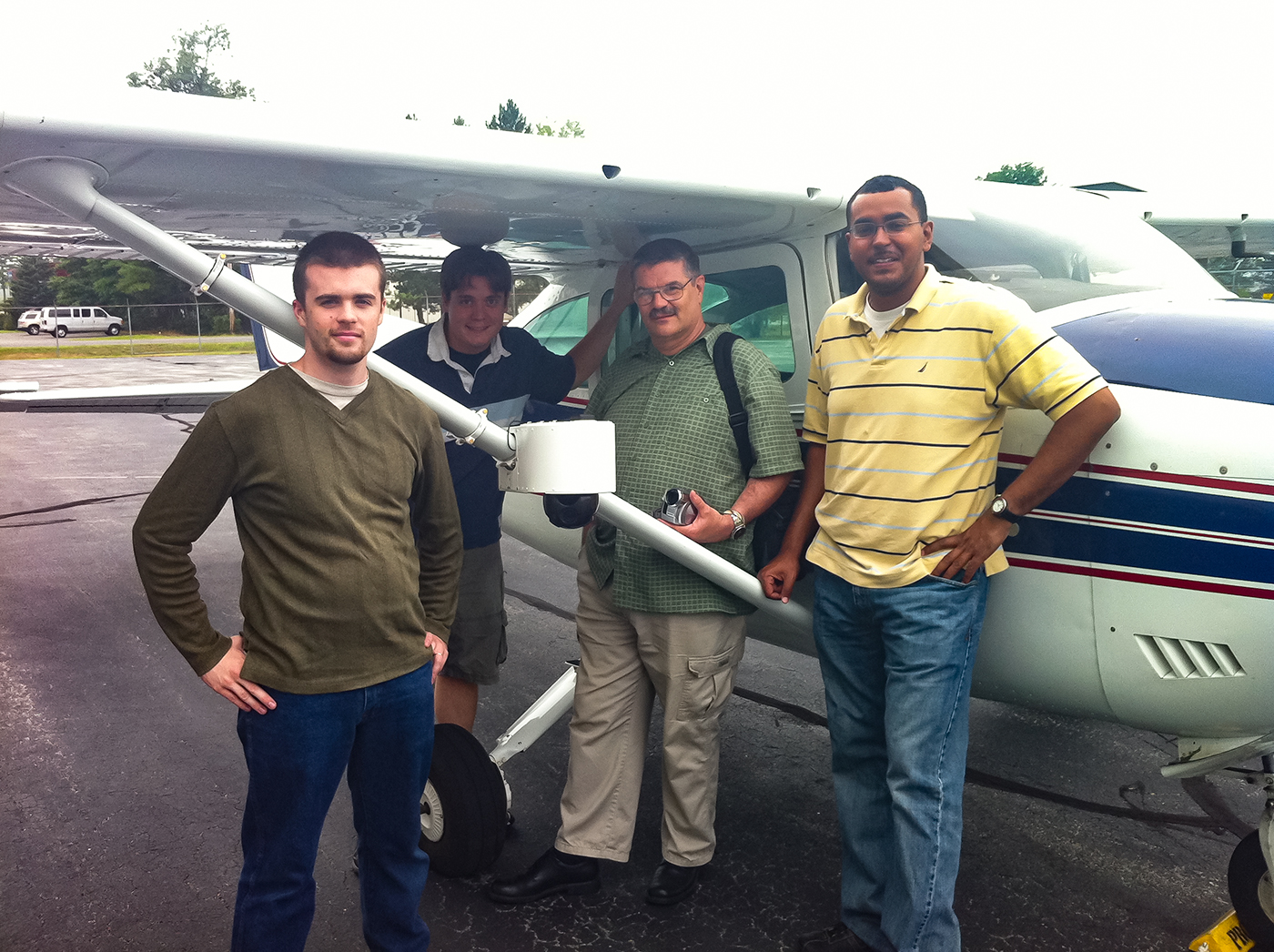
Based in Concord, New Hampshire, ASSIST-U.S. provides specialized aerial imagery and analysis services to satisfy the security and special event planning requirements as well as protection of critical infrastructure needs of the private and public sectors. The company flies a family of Cessna aircraft on customized missions to acquire EO and Infrared images and provide analysis services. With SkyFusion Pak, ASSIST-U.S. has enhanced its service offerings to include full-motion video and real-time imaging with fully integrated telemetry and geo-spatial data.
“SkyFusion Pak allows us to meet the mission-critical needs for applications such as emergency management,” said Rick Bartle, director of aviation operations for ASSIST-U.S. “The ability to capture and stream full-motion video in real time provides incident commanders and first responders a bird’s eye view and the ability to move resources quickly and efficiently based on expanded situational awareness. This service is well-suited for customers in the Homeland Security and Emergency Management markets at the local, state and federal level as well as the environmental, utility and insurance industries.”
Key SkyFusion Pak features include:
- Complete, integrated FAA-approved system including sensors, control, analysis and post processing software, MAP layers, wiring, touch pad computer, training and support
- Accurate aerial information including imagery, date, time, location of camera and image area, elevation, range and field of view information
- In-air emails of imagery viewable by smartphones or desktop users
- Full-motion video that can be uploaded via the Internet
- Flexible file output formats for fast, actionable analysis