
Operator expands services with SkyFusion Pak aerial imaging system
December 5, 2010 — SkyIMD, Inc., the innovators in aerial imaging and intelligence solutions, has partnered with Aviation Specialists, Inc., (ASI) a provider of aerial imaging services. ASI has deployed SkyFusion Pak, the advanced, STC-certified solution for real-time aerial intelligence from SkyIMD.
“ASI is an ideal partner for SkyIMD because of their extensive aerial imaging experience. Over their more than 17 years of operation, the company has established an excellent reputation for knowledge and service,’ said Tom Bleier, vice president of business development at SkyIMD. “ASI has provided valuable contributions to our product development and field testing to ensure that SkyFusion Pak includes the sophisticated features their clients need.”
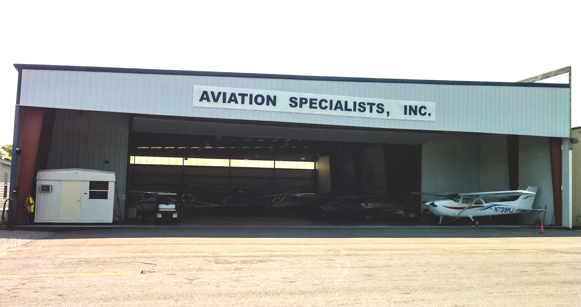
Based in Gonzales, Louisiana, ASI provides aerial patrol and photography services for the oil, gas, timber and transporation industries. The company’s DOTD-certified commercial pilots fly Cessna 172 and 182 aircraft. With SkyFusion Pak, ASI has enhanced its service offerings to include full-motion video and near real-time imaging with fully integrated telemetry and geo-spatial data.
“SkyFusion Pak allows us to meet the mission-critical needs for applications such as pipeline and power line patrol and right of way management,” said Mickey Marchand, president of ASI. “We can quickly deliver better, more actionable aerial information so our clients save time and resources. This capability resulted in compelling imagery to support the Deepwater Horizon oil spill clean-up efforts in the Gulf of Mexico. We are sure it will attract new clients.”
Pipeline and power line owners rely on aerial imaging to identify issues such as leaks, vegetation growth and encroachment by new construction and trespassing. Timely and accurate identification is required to avoid expense and fines that can incur if response is delayed.
Key SkyFusion Pak features include:
- Complete, integrated FAA-approved system including sensors, control, analysis and post processing software, MAP layers, wiring, touch pad computer, training and support
- Accurate aerial information including imagery, date, time, location of camera and image area, elevation, range and field of view information
- In-air emails of imagery viewable by smartphones or desktop users
- Full-motion video that can be uploaded via the Internet
- Flexible file output formats for fast, actionable analysis