SkyIMD’s systems can capture and geo-encode vast areas in a short amount of time, allowing you to create digital elevation maps, analyze data or just capture amazing aerial photos or create aerial panoramas.
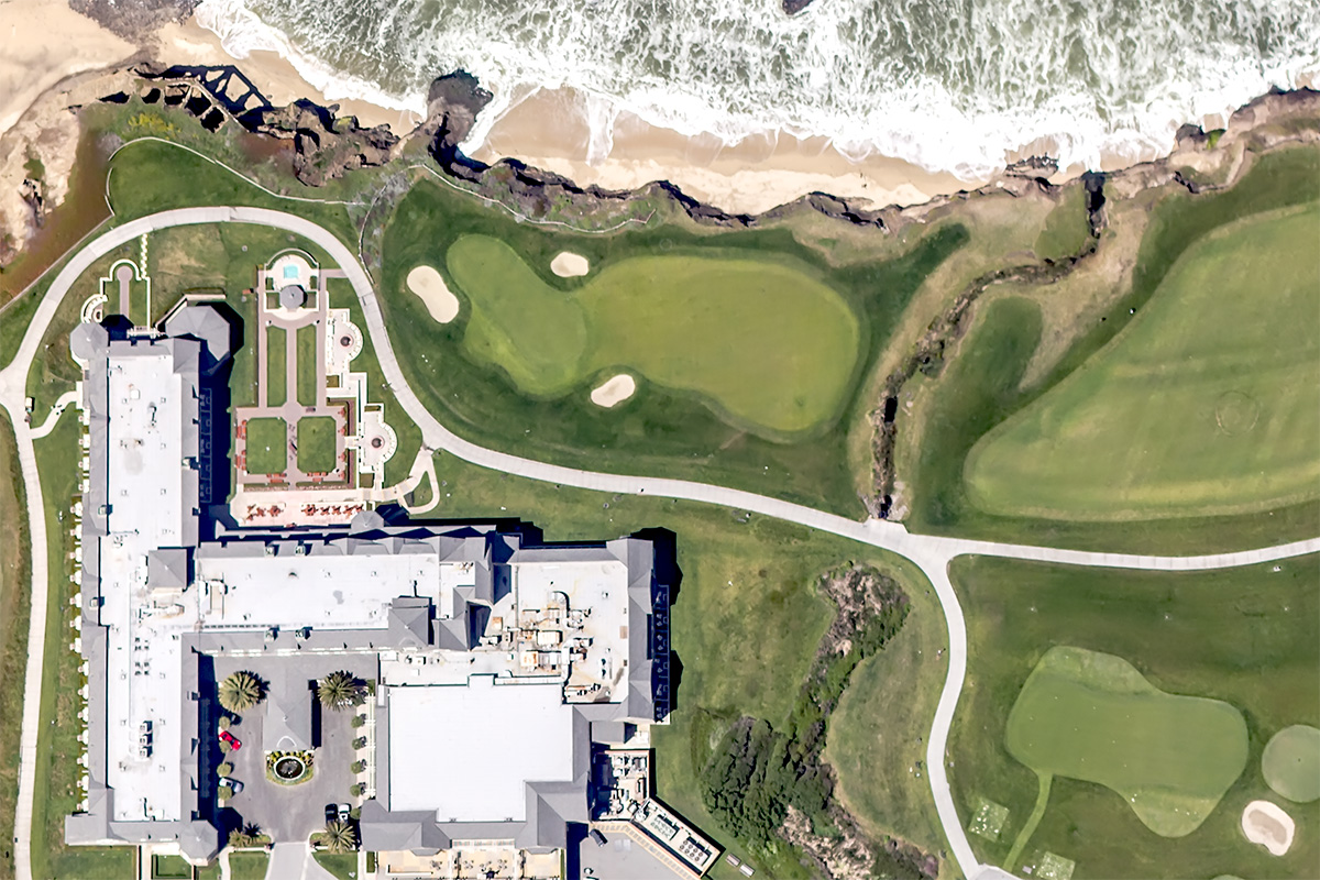
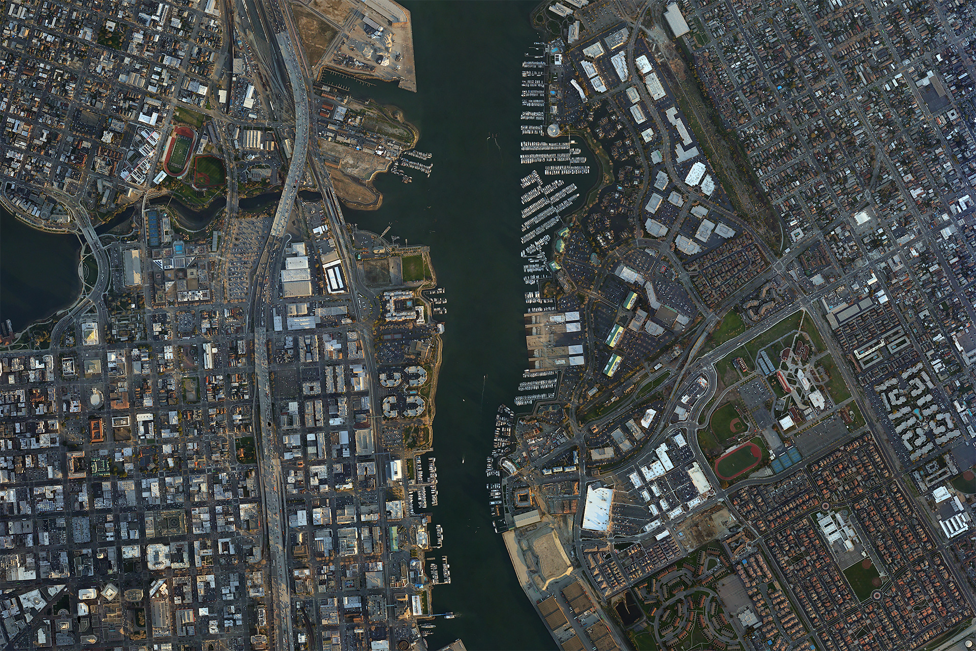
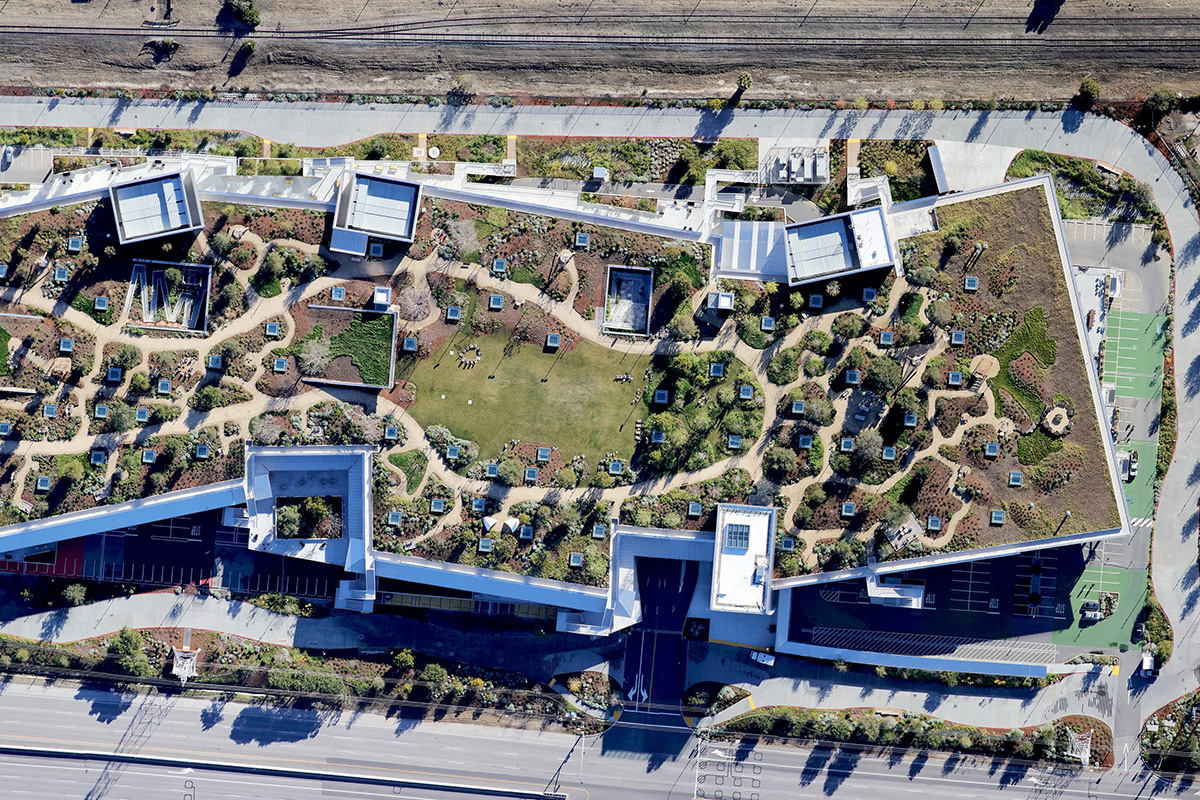
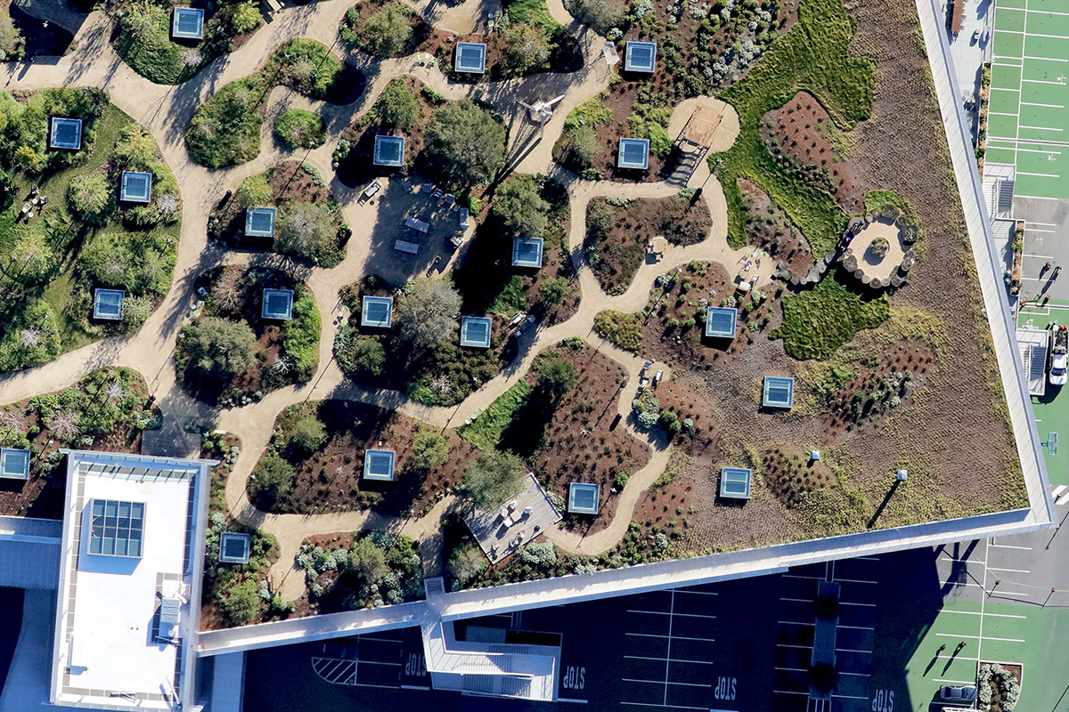
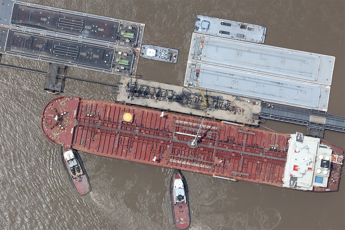
Sample Images showing full image and sample zoom resolution.
Canon 5DS R with 85mm Zeiss lens

Canon 5D MarkII with Canon 50mm f/1.4 USM Lens

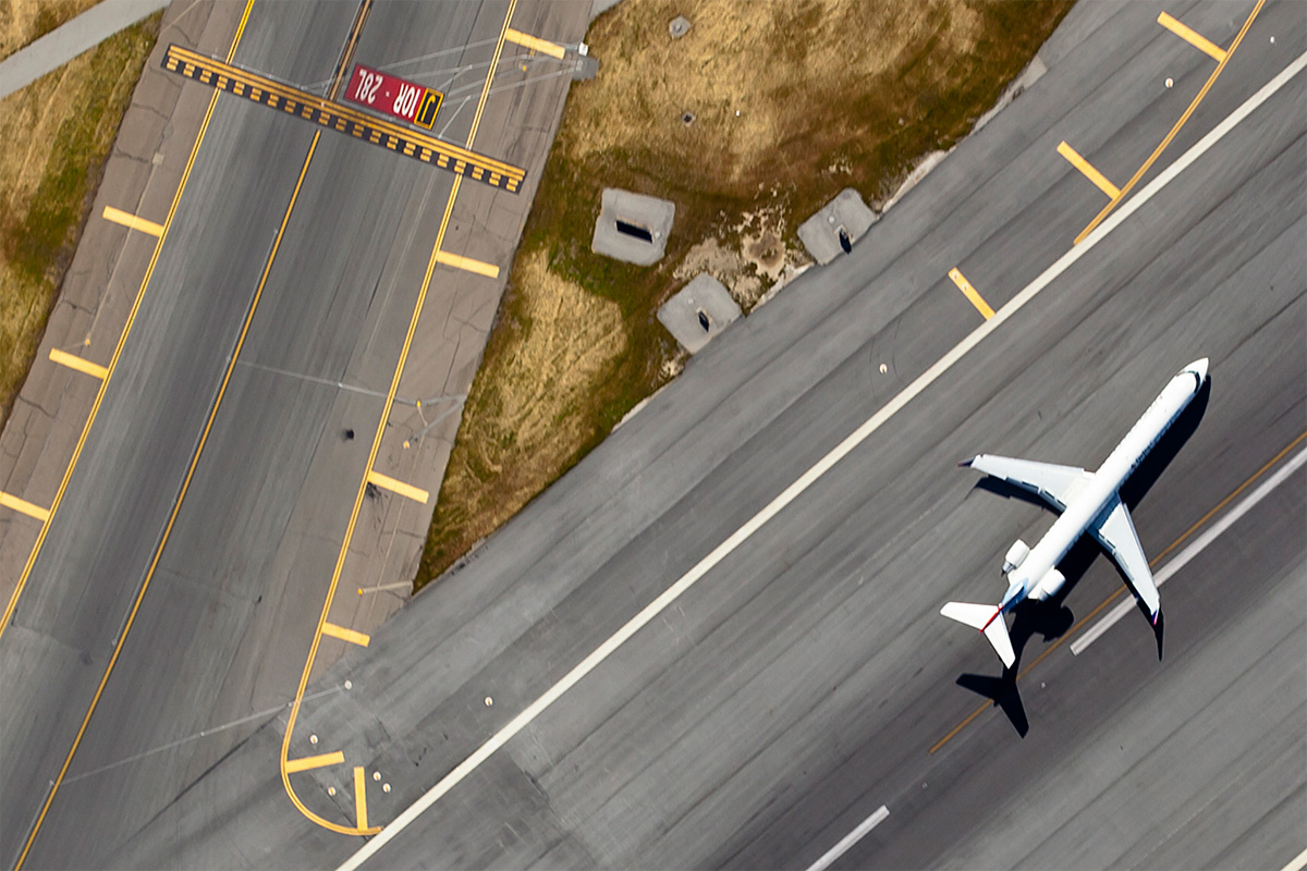
Canon t3i with 50mm lens